An Arlberg ski map looks overwhelming the first time it’s unfolded, six villages and 88 lifts crammed onto one sheet. Once the layout actually clicks, it turns into the single most useful planning tool for a trip, showing exactly which zones suit which kind of day on the mountain.
Understanding the Ski Arlberg Map
The official Arlberg ski map covers all six connected villages on one continuous sheet, color-coded by difficulty and cross-referenced with lift names and numbers rather than village names alone, since a single piste often runs through more than one village’s territory. Reading it well before a trip, rather than on the first morning at the lift station, saves real time once boots are already on.
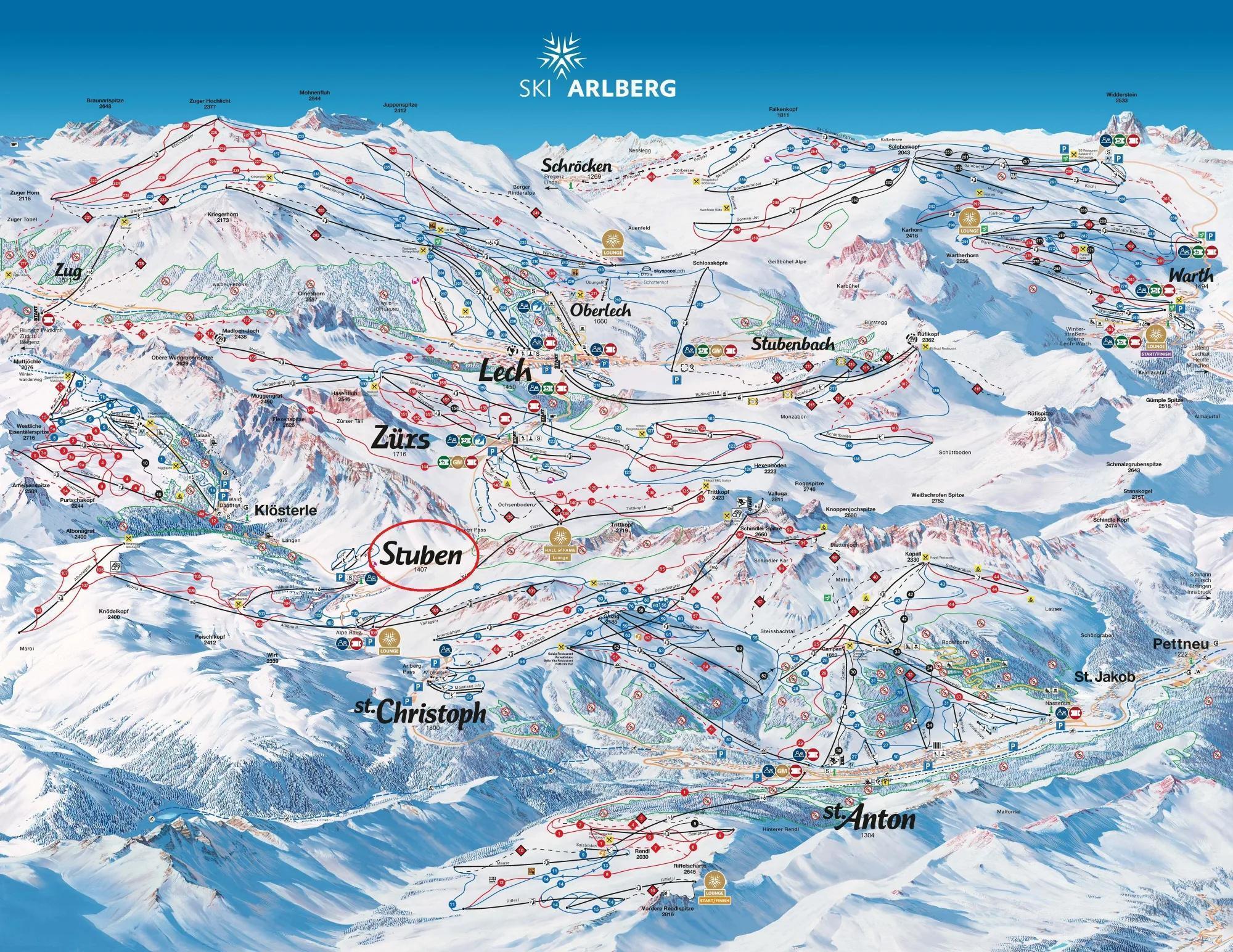
Each lift type and piste difficulty gets its own distinct marking on the map:
- Gondolas and cable cars: shown as bold double lines, the higher-capacity lifts linking villages and major zones, the Flexenbahn and the Albona I among them
- Chairlifts: marked in their own distinct line style from the gondolas, covering mid-mountain access and the runs branching off it
- Drag lifts and t-bars: shown as a thinner line, mostly serving beginner areas and short connector slopes rather than long cross-mountain routes
- Piste colors: blue for easier runs, red for intermediate, black for the most demanding, the same coding used consistently across every village on the sheet
Paper copies are available free at every lift station ticket office and most hotel receptions, updated each season to reflect any new lifts or piste changes, with a digital version through the official Ski Arlberg app, or the official interactive Ski Arlberg map from a browser, both for real-time lift status. Picking up a current copy on arrival is worth the two minutes it takes rather than relying on a saved photo from a previous trip, since lift numbers and piste names do shift occasionally between seasons.
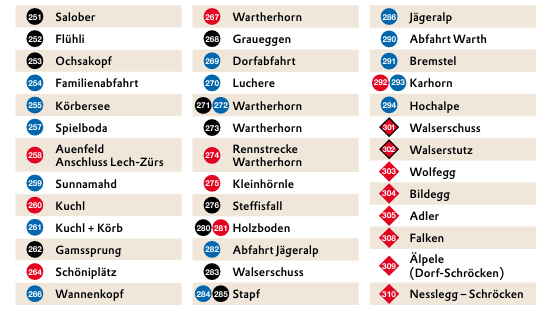
Numbered pistes on the map correspond to numbered signposts on the mountain itself, so cross-referencing the two while actually skiing is straightforward once the system clicks. Route numbers stay consistent for a given piste across seasons even when a lift serving it gets renamed, making the numbering system the more reliable reference point for a returning visitor comparing notes against an older map.
The Ski Arlberg Area by the Numbers
The raw numbers on the map only mean something once they’re broken down by what they actually represent on the mountain.
305 km of Pistes & 88 Lifts
Ski Arlberg’s 305 kilometers of piste break down as 43 percent blue, 40 percent red, and 17 percent black, a genuinely balanced spread across ability levels rather than a resort skewed heavily toward one difficulty. On top of that groomed total, roughly 200 kilometers of marked but ungroomed ski routes give freeriders extensive terrain most Austrian resorts can’t match.
The 88 lifts range from modern high-speed gondolas like the Flexenbahn and Rendlbahn down to smaller drag lifts serving nursery slopes, all shown on the map with their own reference number for easy cross-checking against a piste’s own numbered route.
| Difficulty | Share of Pistes |
|---|---|
| Blue (easy) | 43 percent |
| Red (intermediate) | 40 percent |
| Black (difficult) | 17 percent |
How the Villages Connect
The Flexenbahn gondola, opened in 2016, is the connection that makes the whole Arlberg ski map read as one continuous network rather than several separate resorts stitched together. It links the St Anton and Stuben side of the mountain directly to the Lech, Zurs, and Warth-Schrocken side in a single lift ride.
Warth-Schrocken joined the network more recently still, connected via the Auenfeldjet gondola in 2013. Before that gondola, reaching Warth or Schrocken from the rest of the Arlberg meant a road transfer rather than a lift ride, and the map itself reflects that history in how the two zones are laid out relative to each other.
Key Zones on the Map
Splitting the map into its two natural halves makes route planning far easier than trying to hold the whole sheet in mind at once.
St Anton, St Christoph & Stuben
This eastern half of the map centers on St Anton’s own extensive lift network, with St Christoph sitting at the high point of the pass and Stuben tucked at the western edge of this zone, closest to the Flexenbahn connection across to Lech. The Valluga cable car, reaching 2,811 meters, marks the zone’s own high point and the gateway to some of the Arlberg’s most demanding off-piste terrain.
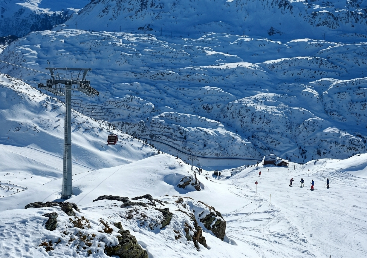
St Christoph’s own small cluster of lifts sits between St Anton and Stuben on the map, historically the location where the Arlberg Ski Club formed in 1901 and where Hannes Schneider founded the Ski School Arlberg in 1921.
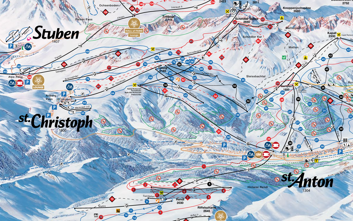
That history is easy to miss on the map itself, which shows the village as little more than a handful of lift symbols despite its outsized role in the sport’s own development, developing much of the technique modern alpine skiing genuinely still teaches today.
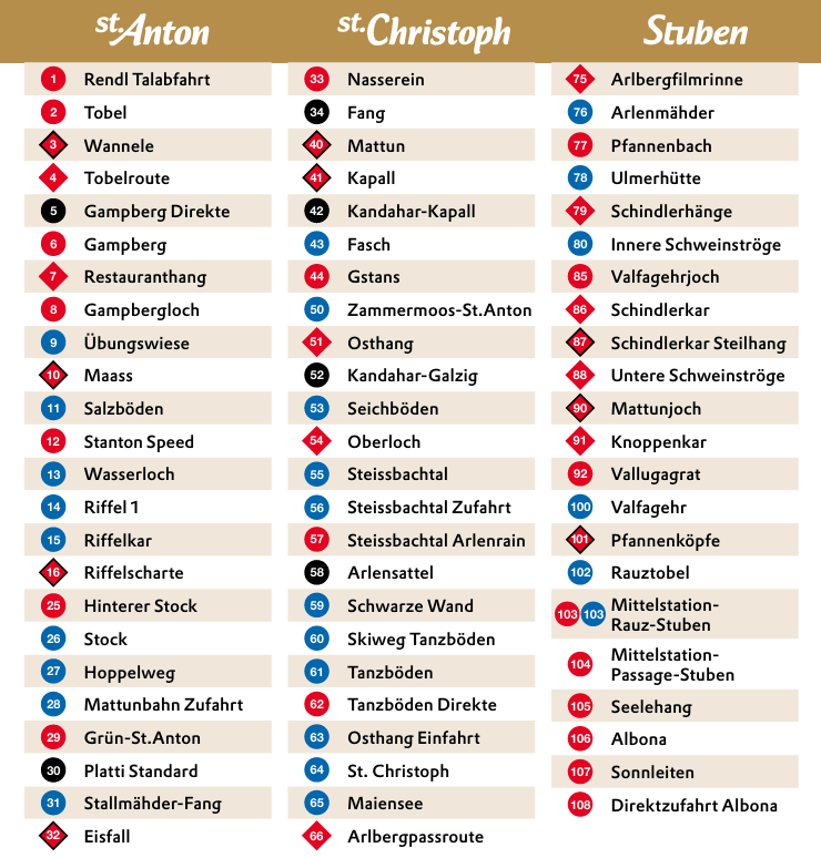
Stuben’s own position on the map is worth noting specifically, it sits right where this eastern zone meets the connection point to the western villages, making it a genuinely central base for a skier planning to explore both halves of the Arlberg map across a longer trip. The Albona I cable car, right above the village, appears as one of the eastern zone’s own key access points on the printed official paper map sheet itself too.
Lech, Zurs & Warth-Schrocken
The western half of the map covers the interconnected ski areas around Lech, Zürs, Oberlech and Warth-Schröcken. Compared with the St Anton side, this part of the Arlberg generally has a more open feel, with broad pistes, rolling terrain and fewer tightly clustered lift lines. Lech and Oberlech offer extensive cruising terrain, while Zürs sits higher and provides a more compact network with easy access to the surrounding slopes.
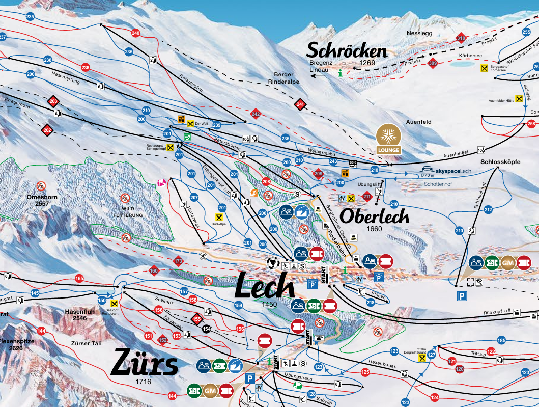
Oberlech sits directly above Lech and is closely integrated into the same ski area, with lifts and pistes connecting the two without requiring a separate ski pass. Warth-Schröcken appears more visually separated on the map, but the Auenfeldjet gondola connects it with Lech Zürs, making it part of the same Arlberg ski network. The physical gap on the map therefore does not mean that a separate ticket is required.
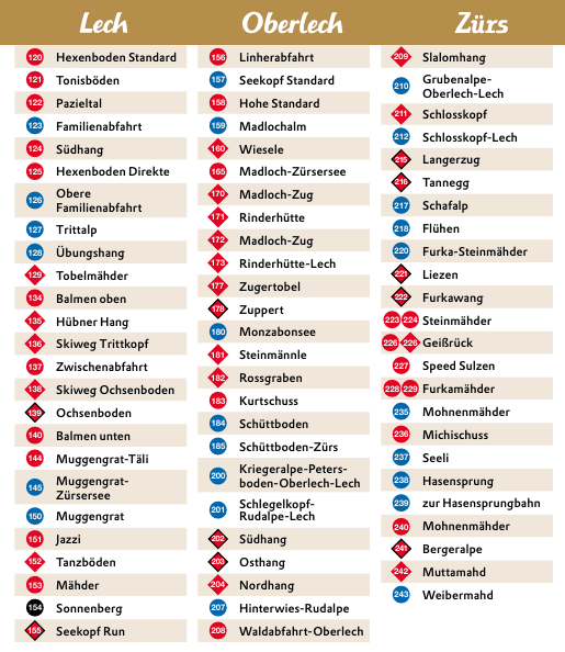
Reaching this western side from St Anton or Stuben requires crossing the Flexenbahn connection, which is the main link between the two sides of the Arlberg network.
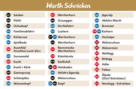
For a full-day trip across the region, it is important to plan around the connecting lifts and their closing times. Individual village lifts may remain open later than the connections needed to return to the other side of the mountain.
| Zone | Villages | Character | Best For |
|---|---|---|---|
| Eastern half | St Anton, St Christoph, Stuben | Bigger lift network, more demanding terrain | Advanced skiers, nightlife, ski history |
| Western half | Lech, Zürs, Oberlech, Warth-Schröcken | Open pistes, high-altitude cruising and varied terrain | Beginners, intermediates, families and relaxed ski days |
Reading the Pistes by Ability
Matching a piste’s color on the map to an honest sense of a group’s own ability level avoids the most common Arlberg trip-planning mistake.
Beginner & Intermediate Runs
St Anton’s own Nasserein area is the clearest beginner zone on the whole Arlberg ski map, gentle tree-lined slopes served by a magic carpet and a dedicated beginner chairlift, with a children’s ski school based right there. The nearby Rendl sector, reached by its own gondola, suits an intermediate still building confidence, quieter than the main St Anton lift lines and with a genuinely short, easy blue run near the top.
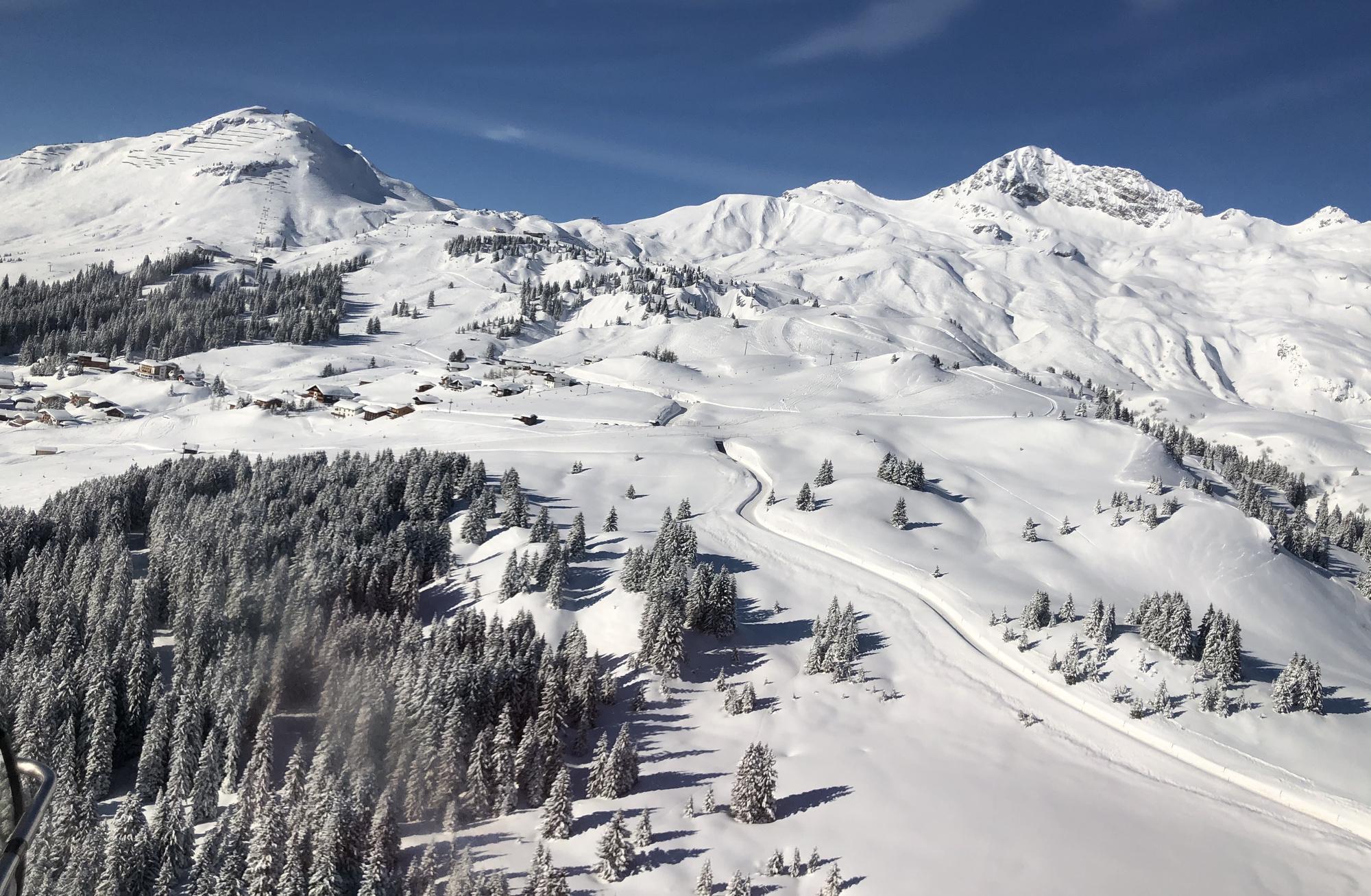
The western half of the map, around Lech and Zurs, tends to offer gentler intermediate cruising overall than the St Anton side, wide groomed runs suited to a mixed-ability group without much genuine expert terrain mixed in. Warth-Schrocken’s own runs skew even gentler still, a real consideration for a family group weighing which half of the network to base themselves in.
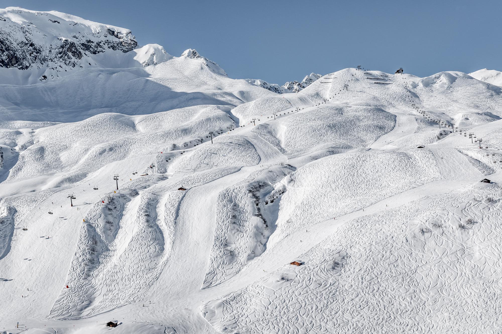
Across the rest of the map, blue and red runs criss-cross nearly every zone rather than clustering in one corner, meaning a mixed-ability group can usually find a matching run close to wherever the group happens to be on a given day, without a long transfer just to reach easier terrain. Checking the map’s own gradient shading, not just the color alone, helps a nervous intermediate avoid a red run that reads as unexpectedly steep once actually on it.
Advanced Runs & Freeride Routes
The Valluga North Face, accessible only with a certified guide, is the single most demanding descent marked on the Arlberg ski map, dropping through steep powder fields and narrow couloirs from the Valluga summit. The Schindlerkar, numbered route 86/87 on the map, offers a comparatively more approachable introduction to off-piste terrain, reached via the Schindlergratbahn gondola to Schindler Spitze at 2,660 meters.
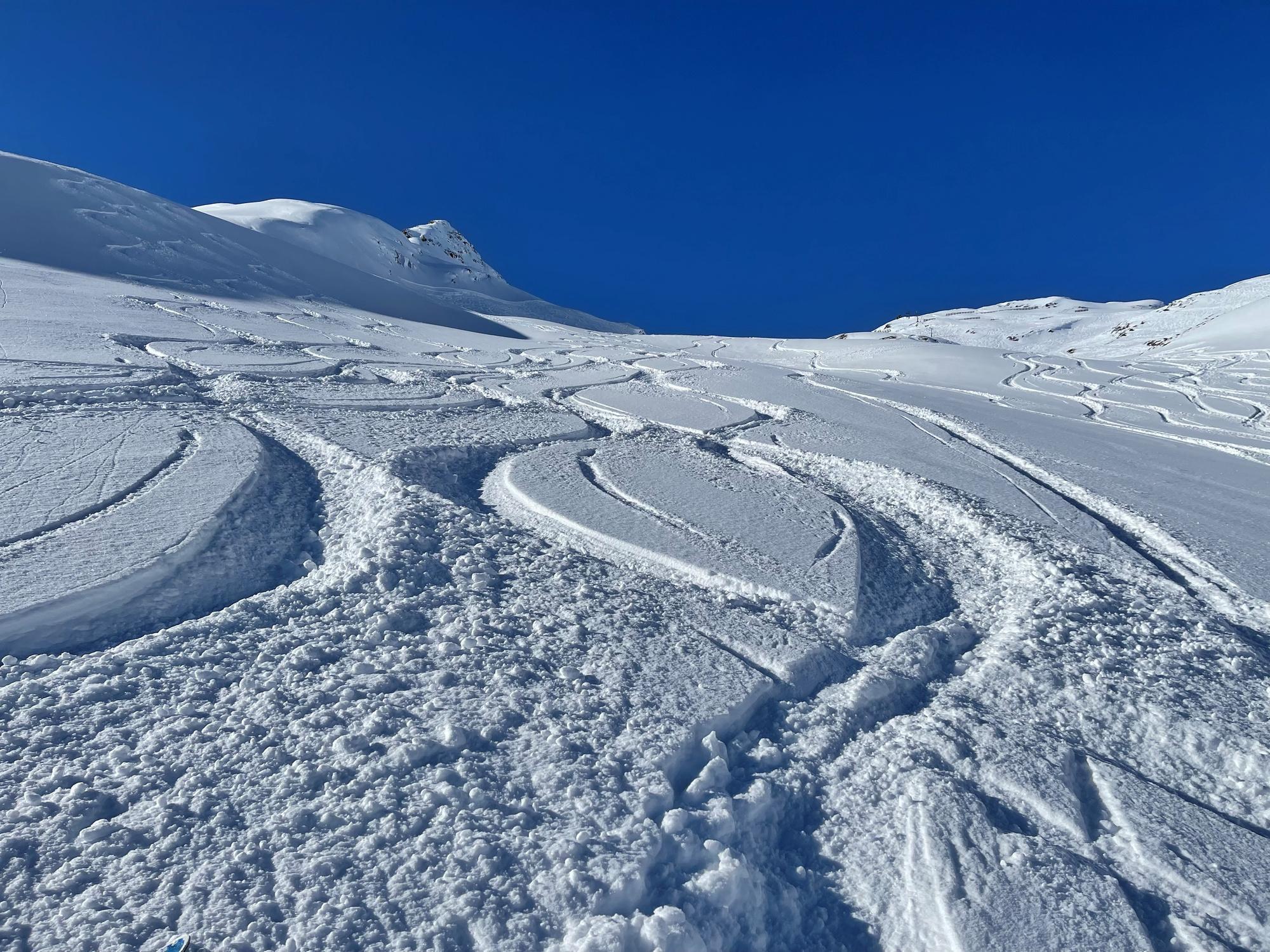
Stuben’s own Albona sector holds snow later into the season than more exposed parts of the map, thanks to its north-facing aspect, a real practical edge for anyone planning a late-season freeride trip. Ski Hotel Mondschein can arrange a certified guide directly for off-piste terrain there, useful for a group without their own arranged guide already booked.
The Mattun and Mattunjoch routes, both accessed from the same Vallugagrat area as the Schindlerkar, add further genuine variety for an experienced group looking to avoid repeating the exact same descent twice in one week. All three are marked on the current map with their own route numbers, worth noting down before setting off rather than relying on memory once already on the mountain.
Mountain Huts Marked on the Map
Fork-and-knife symbols across the Arlberg ski map mark real mountain huts and restaurants, worth planning a lunch stop around rather than treating as an afterthought.
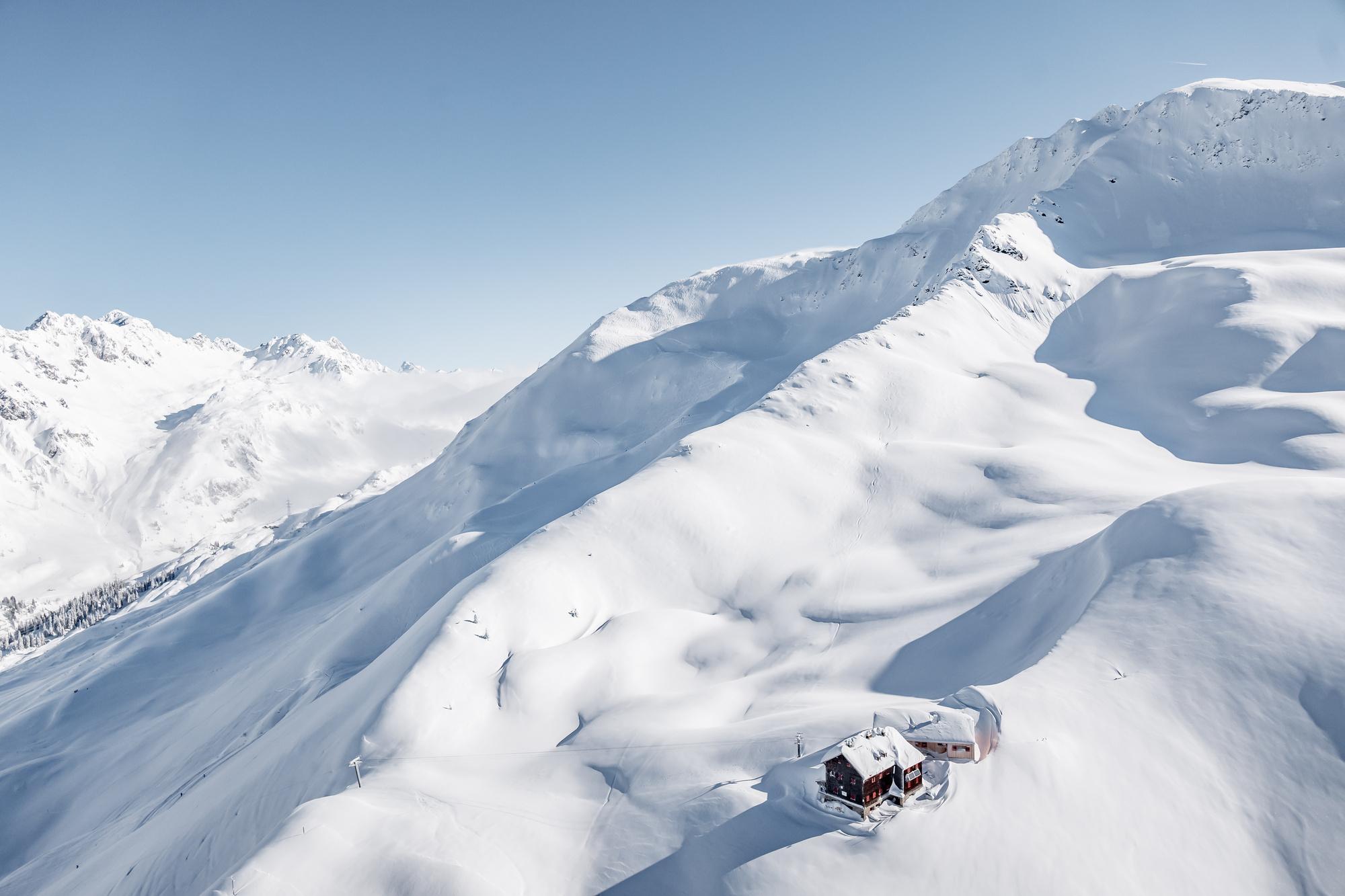
The Ulmer Hütte, at 2,288 meters on the St Anton side of the map, runs an ice bar alongside its own table-service restaurant, main courses generally running affordably by Alpine standards, worth confirming current prices before ordering since they shift by season. Its sun terrace makes it a genuine destination stop, not just a convenient midway point on a much longer full-day mountain run.
| Hut | Elevation | Known For |
|---|---|---|
| Ulmer Hütte | 2,288 m, St Anton side | An ice bar alongside a table-service restaurant |
Checking a hut’s exact location against the map before setting off avoids a wasted detour, since several huts sit just off the main piste rather than directly on it, a short marked path usually connects the two. Peak lunchtime hours around midday get genuinely busy at the more famous huts, particularly ones close to a major lift junction, so arriving slightly earlier or later than the main rush, or picking a hut further along a numbered route rather than right at a junction, often means a quieter meal without sacrificing the same real regional cooking. A printed or downloaded copy of the map makes this kind of planning easier on the mountain itself, since phone signal can drop out entirely in some of the deeper valleys.
Getting to the Arlberg
Which airport makes the most sense depends on which half of the map ends up as the actual base, and the practical options genuinely vary.
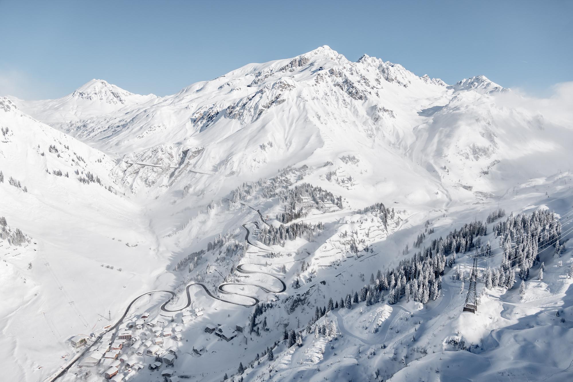
Four airports realistically serve the region, each with its own tradeoff:
- Innsbruck Airport: closest to the eastern half of the map, roughly an hour to St Anton and St Christoph, a little further on to Stuben
- Zurich Airport: the widest range of long-haul connections, suits the western half of the map, Lech, Zurs, and Stuben, given their position closer to the Swiss border
- Friedrichshafen and Memmingen (Germany): budget-friendly alternatives for a traveler flying from within Europe, though with fewer route options
- Munich Airport: a solid backup at a somewhat longer transfer time than Innsbruck or Zurich
None of the villages shown on the map sit directly on a train line themselves except St Anton, which has its own station. For every other village, the nearest station is Langen am Arlberg, followed by a bus or taxi transfer of anywhere from five to twenty-five minutes depending on the specific destination and the current weather conditions on the pass.
Winter driving on the Arlberg Pass road can turn genuinely difficult in heavy snow, worth factoring into an arrival plan regardless of which zone on the map ends up as the actual base. Confirming a hotel-arranged transfer in advance smooths that gap considerably, and most properties across the region can arrange one on request. A rental car adds real flexibility for exploring beyond the immediate ski area, but winter tires and snow chains are a legal requirement on Austrian mountain roads during the season, worth confirming a rental company includes both before pickup.
Read more: How to Get to Stuben am Arlberg 2026/27: Zurich & Innsbruck Airport Transfer Guide
Safety & Off-Piste Guidance
Every route marked with a dashed line rather than a solid one on the Arlberg ski map is an unpatrolled, ungroomed ski route, not a marked piste, and carries real avalanche risk that a groomed run does not. Checking the daily avalanche bulletin before heading into any of these specific zones is a genuine safety step, never simply a formality.
A certified mountain guide is required for the Arlberg’s most demanding descents, including the Valluga North Face, and several ski schools across the region offer guided off-piste days for skiers without their own guide already arranged.
Ski Hotel Mondschein can arrange one directly for guests specifically chasing terrain around the Albona, one genuine advantage of basing at a property with real local ski connections rather than a generic booking-site listing alone. Guests planning specific routes ahead of arrival can check Mondschein’s own ski touring map for more route detail than the general piste map covers.
Interactive map embed code:
<script type=”module” src=”https://v-cloud-widgets.vorarlberg.travel/v3/map/assets/widget.js” defer></script> <datacycle-widget widget-identifier=”dc-demo/all” version=”3″ api-endpoint=”4b7b114e-fc22-4664-96b8-1e02286b48c7″ widget-type=”map” show-widget-footer=”true” language=”en” locale=”en” detail-view=”true” map-side-panel-style=”on-click” focus-mode=”false” show-tags=”none” map-enable-clustering=”false” map-enable-perimeter-filter=”false” map-perimeter=”20″ map-show-nested-geo-objects=”true” map-show-nested-geo-objects-at=”detail-map” map-center=”10.1592, 47.1396″ map-enable-concept-filter=”true” map-concepts-show-count-with-subtree=”false” map-include-empty-concepts=”false” map-concept-scheme-filter-ids=”7607e854-3023-49bf-8aa8-611ab93a44ac” map-concept-scheme-external-icon-ids=”0aa5a4ee-1f70-4c01-81b6-3424a1922008,7e771b1e-658c-4e3d-b281-f0ded90ba25e,d5428bbf-691f-47a3-805b-1ceb08e93d84,b6b97426-97b9-43a7-85a8-734f788b3be0,7607e854-3023-49bf-8aa8-611ab93a44ac” map-enable-fulltext-search=”true” map-marker-size=”80″ map-icon-size=”80″ map-tour-render-type=”line” crop-image=”true” map-base-map-style-option=”toursprung-terrain” use-main-heading=”false”></datacycle-widget>
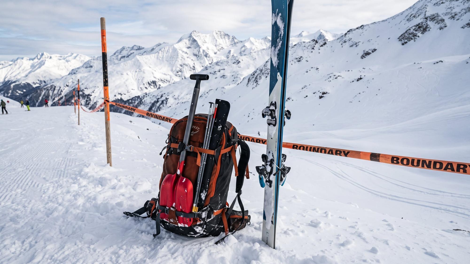
Carrying an avalanche transceiver, probe, and shovel is standard practice for anyone leaving the marked pistes shown in solid color on the map, regardless of how experienced the skier is or how short the intended route looks on paper. Renting a full safety kit is straightforward at any of the region’s own ski shops for a traveler without personal gear.
Weather and visibility change quickly at altitude across the Arlberg, and a clear morning shown on a forecast doesn’t guarantee the same conditions higher up the mountain by midday. Checking conditions at the specific elevation of a planned route, not just the general village forecast, is worth the extra few minutes before committing to a genuinely longer off-piste descent later in the day.
Where to Stay Near the Lifts: Ski Hotel Mondschein (by the Albona Lift)
Ski Hotel Mondschein sits a three-minute walk from the Albona I cable car, placing it right at the point on the Arlberg ski map where the eastern zone meets the crossing point to Lech and Zurs. The hotel has operated in Stuben since 1739, a real historic anchor for a village built around one pedestrianized main street.
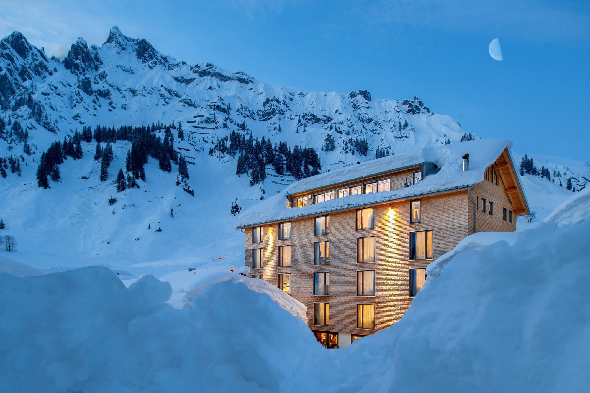
That location matters practically, not just on paper. A guest can be on the first lift most mornings without the longer approach walk or shuttle ride that a village-edge property elsewhere on the map often requires, and the same short walk works in reverse at the end of a genuinely long ski day, gear and all.
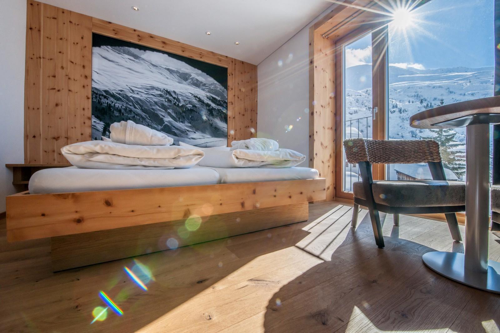
The Panorama Double puts those same mountain views to use inside the room itself, a fitting pick for anyone who has spent the whole day studying the peaks on a paper map and wants to wake up looking at the real thing directly. Every category shares the same three-minute walk to the Albona I cable car regardless of which room is booked, so upgrading rooms never means trading away the location itself.
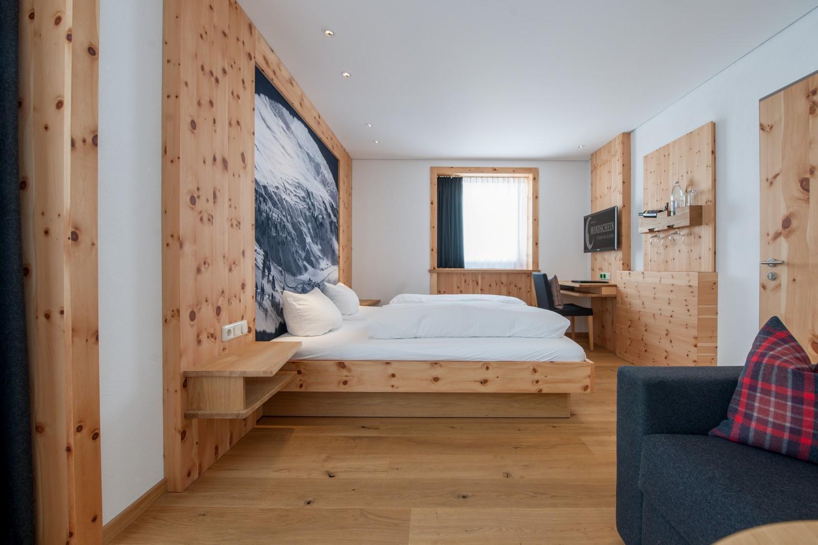
For a larger family tracing routes across the map together, the Family Mondschein 5 splits parents and children into separate rooms with genuine space for a fifth guest, the same three-minute walk to the lift shared by every other category in the hotel.
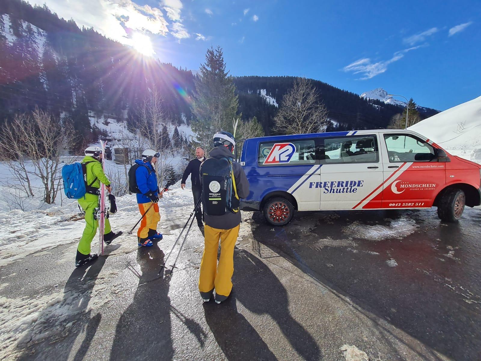
Ski storage and rental sit close by too, removing one more logistical step from a typical ski morning routine. Boots and skis can stay at the base of the lift overnight rather than being hauled back to a room each evening, a small convenience that genuinely adds up meaningfully across a full week.
For dining, Panorama Restaurant & Zirbenstube runs half-board breakfast and a four-course Chef’s Choice dinner menu on the first floor, with mountain views over the Albona built into the room itself.
The centuries-old Alte Gaststube covers the more casual register, alpine tavern food served continuously since the 18th century across three real sittings a day, plus Big Green Egg Sundays for grilled specialties.
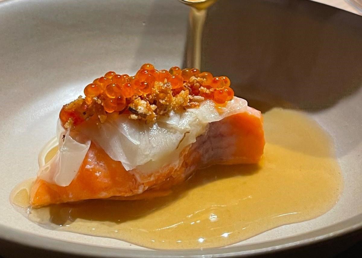
A Chef’s Table format rounds out the dining side, eight seats and a single tasting menu built around a rotating chef residency, awarded 4 toques by Gault&Millau.
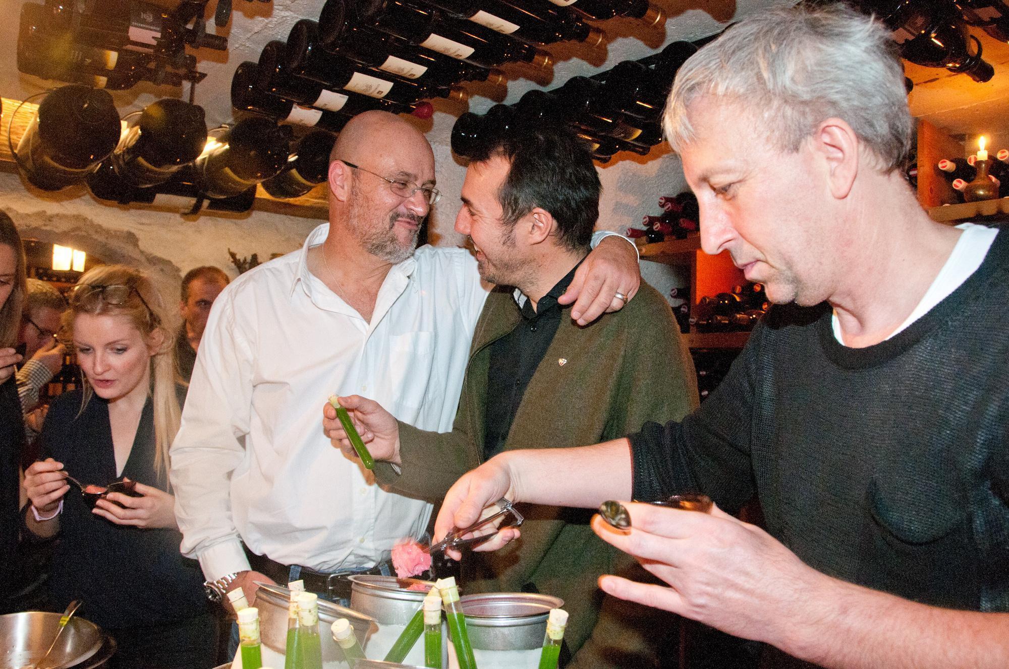
That range of on-site dining matters specifically for a ski trip, since it removes the need to trek across the village after a long day already spent covering ground shown across the map. A guest can go from boots-off to a proper dinner without a second outdoor walk in the cold once the lifts have closed for the day, a genuinely real convenience on the coldest evenings of the season.
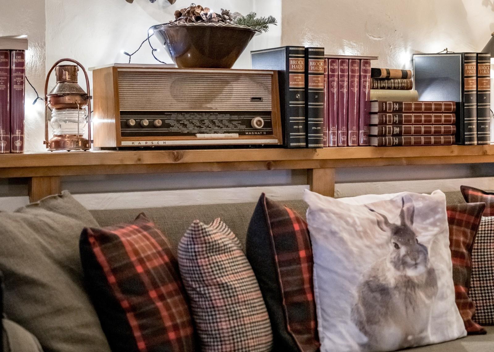
The Mondschein Bar & Fireplace Lounge covers the earlier part of an evening, an open fire and regional brandy standing in for a louder apres-ski scene, a short walk from the rooms themselves rather than requiring a village-wide trek after a full day on the slopes shown on the map.
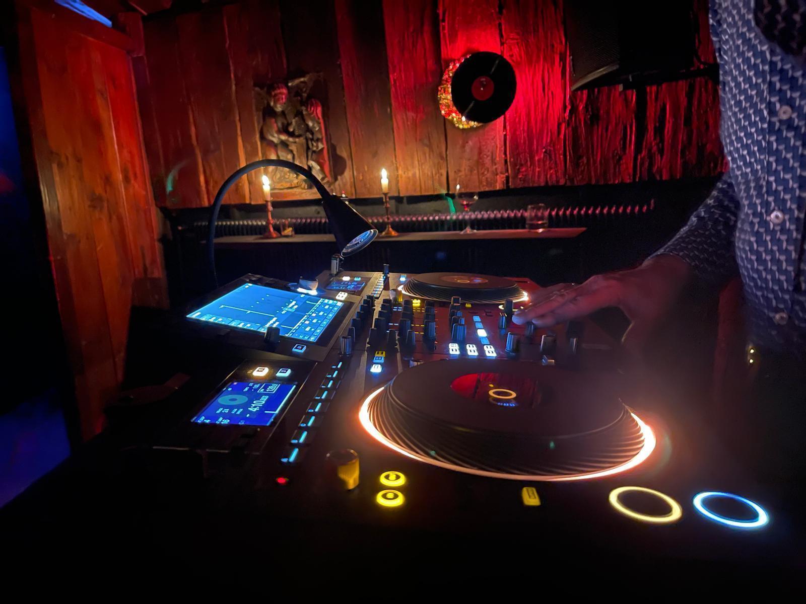
The resident-DJ Mondschein Club covers the later hours instead, a rotating touring-DJ lineup that punches well above what a village of Stuben’s size would normally support.
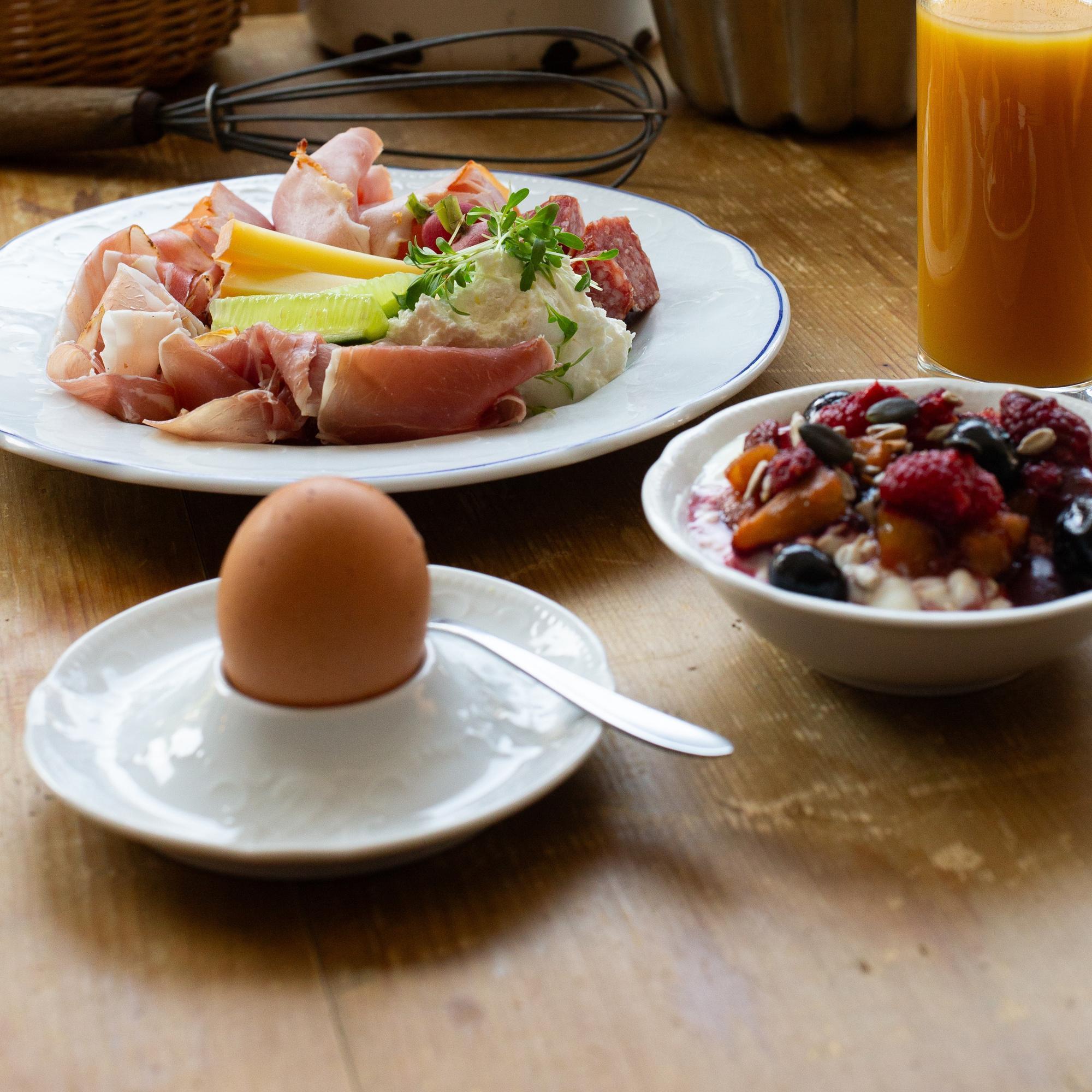
For guests planning around the map’s own terrain in advance, the Arlberg Winter Dream package bundles a 4-day ski pass with daily breakfast, an evening at the Chef’s Table, a massage, and a wine aperitif, a genuinely complete way to plan a multi-day route across the map without arranging each piece separately.
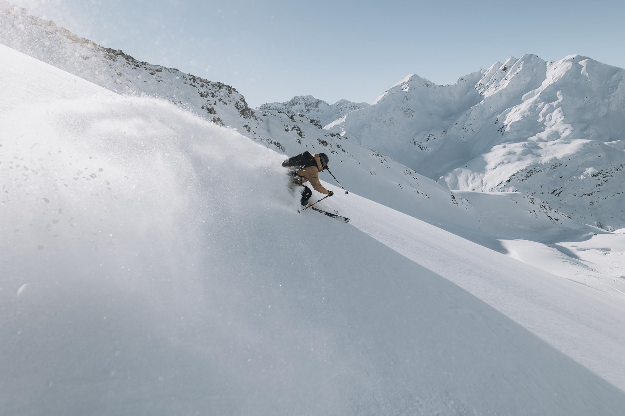
The hotel’s own position also means a guest can reach both halves of the Arlberg ski map without switching accommodation mid-trip at all. A morning on St Anton’s expert terrain and an afternoon exploring Lech’s polished cruising runs both stay realistic from the same base, thanks to Stuben’s central position relative to the Flexenbahn crossing, without ever needing to pack a bag twice.
Detailed Information:
- Address: Hannes-Schneider-Promenade 9, 6762 Stuben am Arlberg, Austria
- Phone Number: +43 5582 511
- Reference Price: Rates vary by season; contact the property directly for current pricing
- Google Review: 4.4/5 on Google
Read more: How to Plan a Perfect Ski Holiday at Stuben am Arlberg with Mondschein
Conclusion
An Arlberg ski map stops looking overwhelming once it’s split into its two connected halves, matched honestly to a group’s own ability level, and read alongside a base that actually sits close to the lifts it describes.
For a base right on the map’s own central crossing point, Ski Hotel Mondschein is worth booking directly, a three-minute walk to the Albona I cable car and real 1739 history within easy reach of every zone across the Arlberg’s 305 kilometers of piste. Bringing a current copy of the map along on the first morning still makes the whole trip run genuinely smoother from the very first lift of the entire week.
Frequently Asked Questions
How big is the Ski Arlberg area?
Ski Arlberg covers 305 kilometers of groomed piste plus roughly 200 kilometers of marked ski routes, making it Austria’s largest interconnected ski area. The full network appears on one continuous Arlberg ski map spanning all six connected villages, from St Anton in the east to Warth-Schrocken in the west.
How many lifts does the Arlberg have?
88 lifts serve the Ski Arlberg network, from high-speed gondolas like the Flexenbahn down to smaller drag lifts on nursery slopes. Every lift appears on the official Arlberg ski map with its own reference number for cross-checking against a specific piste before setting off each morning.
Is the Arlberg one connected ski area?
Yes, since the Flexenbahn gondola opened in 2016 and physically linked the St Anton and Stuben side of the mountain to the Lech, Zurs, and Warth-Schrocken side. A single pass now covers lift access across the entire network shown on the Arlberg ski map, with no separate ticket required between zones.
Where can I get an Arlberg piste map?
Free paper copies of the Arlberg ski map are available at every lift station ticket office and most hotel receptions across the region, updated each season. A digital version is also available through the official Ski Arlberg app for real-time lift status and current piste conditions.
Which village is most central on the Arlberg map?
Stuben sits closest to the geographic middle of the network, right at the point where the eastern St Anton side meets the Flexenbahn crossing to Lech and Zurs. That central position makes it a genuinely convenient base for reaching every other zone on the map without switching hotels mid-trip.