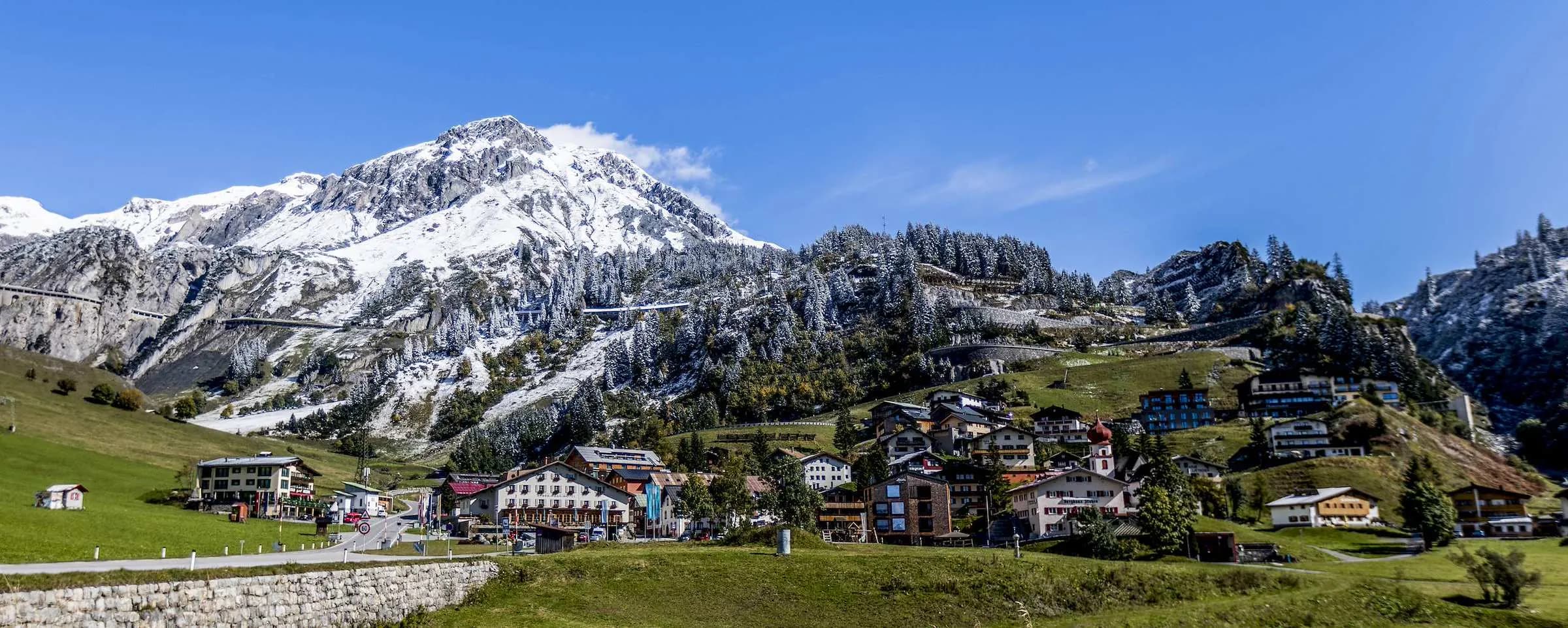
The Lechweg from the Arlberg into the Lechtal
The Lechweg is a long-distance trail of around 125 kilometres. It starts at the Formarinsee at 1,793 metres and ends at the Lech falls in Füssen at about 800 metres. On the way it crosses five regions and two countries, from Vorarlberg through Tyrol to the Allgäu.
The trail opened in June 2012, together with the suspension bridge in Holzgau. It carries the Leading Quality Trail, Best of Europe label. Depending on pace, the tourist boards divide it into six, seven or eight stages.
The river itself is 255 kilometres long and flows into the Danube below Donauwörth. The Tyrolean Lechtal is around 75 kilometres long, with the Allgäu Alps to the north and the Lechtal Alps to the south.
Since 2004 the Tiroler Lech nature park has protected the river landscape. On the gravel banks grows the German tamarisk, a shrub that needs open shingle. Lechtal Tourismus describes the Lech as the last wild river of the northern Limestone Alps.
When the Lechweg is open
The best time is between June and mid-October. From Steeg you can start as early as mid-May if you leave out the high section at the Formarinsee. The hiking bus runs from mid or late June to early October.
The first five stages at a glance
The upper stages are close enough to Stuben to walk them one at a time as day trips. You drive to the start in the morning and take the bus back to the car. The figures come from Tirol Werbung.
| Stage | Route | Length | Ascent | Descent | Highest point |
|---|---|---|---|---|---|
| 1 | Formarinsee to Lech | 14.4 km | 75 m | 493 m | 1,871 m |
| 2 | Lech to Warth | 10.6 km | 381 m | 339 m | 1,532 m |
| 3 | Warth via Lechleiten to Steeg | 15.4 km | 201 m | 570 m | 1,571 m |
| 4 | Steeg via Holzgau to Bach | 15.4 km | 450 m | 507 m | 1,303 m |
| 5 | Bach to Elmen, detour to Elbigenalp | 14.9 km | 207 m | 241 m | 1,199 m |
All five stages are graded intermediate. The first runs almost entirely downhill, and the fourth has the most climbing, at 450 metres. If you only have one day, choose stage 4: the suspension bridge, the waterfall and Holzgau are all on one route.
The Formarinsee and the source of the Lech
The Formarinsee lies at 1,793 metres in the Lechquellen mountains, within the municipality of Dalaas. Around two kilometres to the north stands the Rote Wand. In 2015 the lake and the mountain were voted the most beautiful place in Austria in an ORF programme.
There is no single source of the Lech. The Formarinbach and Spullerbach streams meet to form the young Lech. Nearby lives one of the largest ibex colonies in Europe, and the peaks around reach 2,700 metres.
You cannot drive your own car to the lake. You drive from Stuben over the Flexen pass to Lech, around 11 kilometres. From the Rüfiplatz by the village fountain, hiking bus 707 goes up. Read more about the village on our page about Lech am Arlberg.
You walk back on stage 1, almost entirely downhill to Lech. You can stop at the Gasthaus Älpele and the Fischerwirt in Zug. Allow around five hours for the 14.4 kilometres.
From Lech via Warth into the Tyrolean Lechtal
About two thirds of the way along the second stage you look down into the Lech gorge. The path is narrow and steep in places there. After the Geißbrücke bridge the path climbs steadily, crosses the Grenztobel ravine between Lech and Warth and reaches the Seebachsee at the entrance to Warth.
Warth lies at 1,495 metres and is the highest municipality in Vorarlberg. Walser settlers from the Valais arrived around 1280 to 1300. The village has the highest dairy with a butcher's in the province. In winter Warth is part of the ski area; more under Warth-Schröcken. Beyond Warth the road crosses the Hochtannberg pass into the Bregenzerwald.
Tyrol begins just beyond Warth. Stage 3 follows a panoramic path with views into the Lechtal to Lechleiten. Then the valley narrows and becomes gorge-like in places. Down the bends of the old main road you reach the river and follow the bank to the bridge into Steeg.
Steeg, the first village in the Tyrolean Lechtal
Steeg lies at 1,122 metres and is the first village in the upper Tyrolean Lechtal. It is recorded in 1427 as Steg, after a crossing at a narrow point of the Lech. The first settlers were Walser from the Tannberg.
The municipality also includes Hägerau, Lechleiten, Hinterellenbogen and Dickenau. Lechleiten and Gehren have a Warth postal address. The Lech cycle path officially ends in Steeg, and the central dairy for the upper Lechtal is here.
Holzgau and the suspension bridge over the Höhenbach gorge
Holzgau lies at 1,114 metres and has 388 residents. In the village centre you will see late Baroque Lüftlmalerei paintings on the houses. The richly decorated facades are evidence of the Holzgau people's former trading links.
The Holzgau suspension bridge spans the Höhenbach gorge: 200.5 metres long, 1.20 metres wide, 110 metres above the ground. It opened in 2012 and was for a time the longest and highest rope suspension bridge in Austria. The path starts at the church.
- Entry: €2, in coins at posts by the entrance, no change given
- Starting point: Holzgau church
- On the Lechweg: a variant on stage 4, recommended only if you have no fear of heights
- Below the bridge: the E5 long-distance trail through the gorge
If you would rather not cross the bridge, take the original path through the gorge. It passes the Simms waterfall. The Englishman Frederick R. Simms had the falls laid out at the end of the 19th century, having come to Holzgau as a hunting guest. Today a via ferrata climbs right over it.
Bach and Elbigenalp: side valleys, woodcarving and the Geierwally
Bach and the Madautal
Bach lies at 1,070 metres. At the entrance to the Madautal stands the Klotz chapel from 1900. The side valley is considered wild and barely developed. The Modertal waterfall is a detour on stage 4, after which the path leads through the Modertal gorge via Seesumpf to Bach.
The Jöchelspitzbahn takes you up the 2,226-metre Jöchelspitze, with the Heuberg museum. From the top station the Lechtal panorama path leads to the Bernhardseckhütte. Some of the highest peaks of the Lechtal Alps can be climbed right from Bach and Stockach.
Elbigenalp, birthplace of the Geierwally
Elbigenalp lies at 1,039 metres, roughly in the middle of the Lechtal. The painter Anna Stainer-Knittel was born here in 1841. At 17 she abseiled down to an eagle's nest. That became the basis of Wilhelmine von Hillern's novel about the Geierwally.
In the Bernhardstal stands the covered Geierwally open-air theatre. The village is home to the woodcarving school, whose roots go back to a drawing school founded by Johann A. Falger. The parish church of St. Nicholas was built between 1664 and 1674. Lechtal Tourismus has its office in Elbigenalp, Dorf 46.
Getting there from Stuben: car, bus and luggage
In summer the shortest way into the Lechtal follows a single road. From Stuben you take the L 197 to Alpe Rauz, then the L 198 over the Flexen pass through Zürs, Lech and Warth. In Tyrol it becomes the B 198 and runs as the Lechtal road to Reutte.
| Destination | Distance from Stuben | Driving time without traffic |
|---|---|---|
| Lech (centre) | 11 km | approx. 15 minutes |
| Warth | 18 km | approx. 23 minutes |
| Steeg | 29 km | approx. 31 minutes |
| Holzgau | 33 km | approx. 37 minutes |
| Bach | 39 km | approx. 43 minutes |
| Elbigenalp | 42 km | approx. 47 minutes |
| Reutte | 77 km | approx. 80 minutes |
The figures are calculated with OpenStreetMap data. On pass roads with cyclists and camper vans it usually takes longer. In summer, allow a buffer.
Between Lech and Warth the road is closed in winter, from about the beginning of December to the end of April. So the short way into the Lechtal is a summer route. The way from Langen station and other routes to us are under getting to Stuben.
By bus and luggage shuttle
From mid or late June to early October a hiking bus runs along the whole Lechweg. All the places on the trail are served, and in the Tyrolean part the Lechtal bus runs. Check the timetable before you start, especially the last bus back.
If you walk several stages in a row, you can send your luggage ahead with a transport service. Each piece may weigh up to 20 kilograms, and you book at least two days in advance. You can check the weather on the Arlberg before you set off on Arlberg live.
The Mondschein Chalet as a base for the Lechtal and the Lechweg
The Ski Hotel and the Arlberg Motel are closed in summer. The Mondschein Chalet with private spa suites is open all year. It has six private spa suites, each with a sauna, infrared cabin or hot tub depending on the suite, some with a fireplace. You park your car right by the Chalet.
That suits a hiking day: into the Lechtal in the morning, back to your own spa suite in the afternoon. Check-in is from 3 pm, check-out by 11 am. Stuben lies at around 1,400 metres, so the nights are cool even in August.
For summer guests there are packages with several nights, breakfast in the suite and hikes. What is currently bookable is listed among our offers for summer.
An honest caveat: if you want to walk the Lechweg stage by stage all the way to Füssen, it is better to stay in the villages along the trail. For day walks on the upper stages, Stuben is a quiet base. What the village itself offers in summer is under Stuben am Arlberg. You can see available suites and prices directly under book a Chalet suite.
 Photo: Stuben Tourismus